Chinese Wall 40 miles to 100 miles roundtrip Moderately Difficult
Overview:
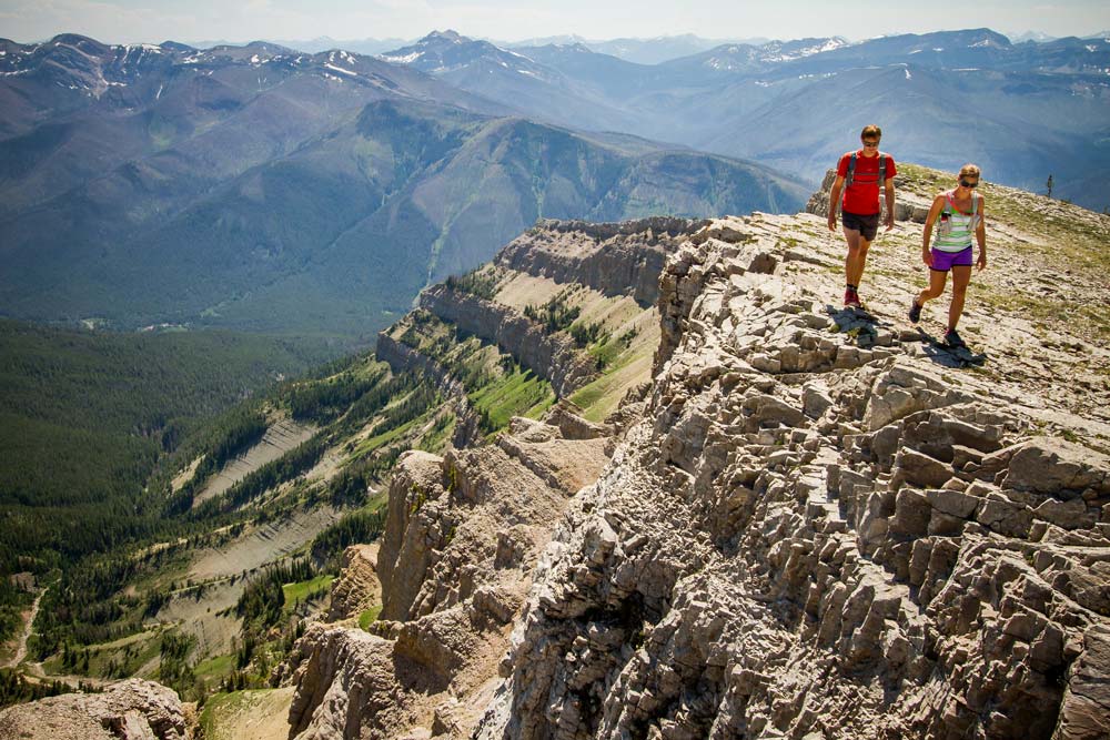
Easily recognizable when flying over central Montana, the Chinese Wall is one of the most remarkable and popular destination in the Bob Marshall Complex. This is a 1000-foot vertical ribbon of rock stretching 22 miles along the eastern slope of the Rockies.
Directions:
Take I-15 North from Great Falls 20.4 miles to exit 290. Take Montana 200/US 89 North 20.4 miles merging slightly right onto Montana 21 West. Turn left onto US 287 and travel 1.3 miles to Augusta. Take Benchmark Road from Augusta to Willow Creek Road. Follow Willow Creek road to its end at the Sun River Trailhead. Park and hike the Holland Lake/Benchmark Trail for a short distance until arriving at the sign for Benchmark a trailhead and wilderness camp. Follow marked Trail 202 for 5 miles turning left onto Trail 203. Travel 11 miles to the trail junction with Trail 211 just beyond Indian Point Cabin. Follow Trail 211 for under 4 miles to White River Pass, at the south end of the Chinese Wall. Many other itineraries are possible in this area, for example, remaining on Trail 203 for 15.5 miles beyond the junction with Trail 211 hikers can travel along the Chinese Wall for about eight miles and reach Larch Hill Pass.