Devil’s Glen 7 Miles Easy
Overview:
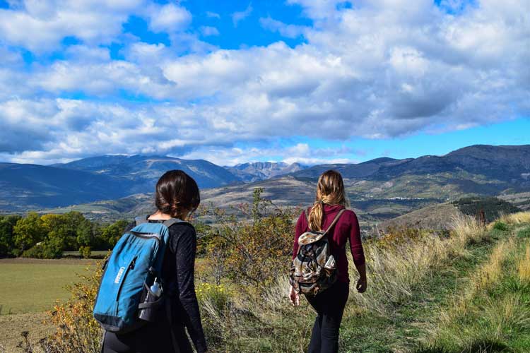
Drive to the Rocky Mountain Front for a hike along a rugged stretch of the upper Dearborn River as we travel through the heart of the “Dearborn/Falls Creek” proposed wilderness area, which is included in the recently introduced Rocky Mountain Front Heritage Proposal. Hikers will be rewarded with majestic views of the reefs and cliffs that form the Dearborn River Canyon en route to the stunning waterfall and deep pools of Devil’s Glen – a much celebrated swimming hole in the summertime. This is a relatively easy hike that follows the river into the rugged country of the southern stretch Rocky Mountain Front, which borders the Scapegoat Wilderness. Join us for a chance to see some of the best wildflowers that Montana has to offer.
Directions:
From Great Falls take I-15 north about 10 miles to the Vaughn exit (Highway 200). Follow Highway 200 west about 20 miles to Simms. At Simms turn right onto Highway 21 and follow it to the end (21 miles). Turn left and go straight through Augusta and towards Bean Lake (county road 435). Go about 16 miles then turn right at the crossroads junction towards Bean Lake (Dearborn River Road 577). Follow that road about 8 miles to the end where there is a parking area for the trailhead. Go to the Augusta Chamber of Commerce website to learn more about this quaint western Town.